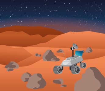
Navigate the Mars landscape and use spectroscopy to identify its rocks
Students will engage in a simulation of a planetary exploration mission by forming mission control groups and using a Mars rover to collect samples from designated regions on a Mars map, while learning about limited data transfer during space missions and the importance of mission control planning. Students will then analyze their samples, identify findings, and present to their classmates, drawing on the objectives of actual rover missions, such as ExoMars, that incorporate atmospheric science, sample analysis, and geology.

Learning objectives
- Find the best way to navigate the map to maximise sample collection within the time limits of the exercise.
- Understand the rover operations, given the limited communication between the ‘rover’ and ‘mission control’
- Gain experience in sample analysis
- Learn to identify spectral signatures and interpret geological information
- Improve communication and presentation skills, by presenting findings to the other teams
Equipment
- Gridded map of Mars or other surface
- Timing device
- Optionally: LEGO educational robotics set and/or remotely controlled vehicle
Time
2-4 hours
Resource available in
This resource was developed in the framework of a collaboration between ESERO UK and ESA.


